Geospatial Mapping
The vast expertise to integrate GIS, GPS and LiDAR services to allow 3D visualization and High Definition (HD) Mapping.
Everything you need to build location-based services faster.
Our location data and technology platform allows you to turn location data into business value faster and efficiently.
Our services encompass both traditional aerial imagery and new age technologies which includes 3D and HD mapping and Machine Learning
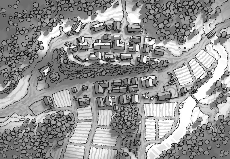
Traditional Mapping
Our end-to-end geospatial services range from data capture, conversion and processing to integration, maintenance and update.
We has successfully implemented projects for the customers in all sectors entities to produce contour maps, atlas maps, tax parcel maps, thematic, zonal maps and environmental maps from disparate sources like paper maps, pre-existing digital data, aerial imagery and field collected information.
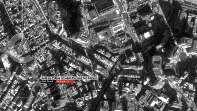
NEXT Generation Mapping
With the advancements in Information & Technology, We has expanded services from 2D map to 3D virtual geographic environment for urban planning, archeological research, security and surveillance, tourism and transport management.
Our data acquisition technologies, automated map production using artificial intelligence techniques have made us one the venturing into autonomous driving.
Services All in one integrated platform
• Find high-value curated map content
• Precise location data and services
• Advanced tools and infrastructure
• A world-wide ecosystem for collaboration
• Professional services and support
• eCommerce integration